CAMELS-DE Processing Pipeline
CAMELS-DE
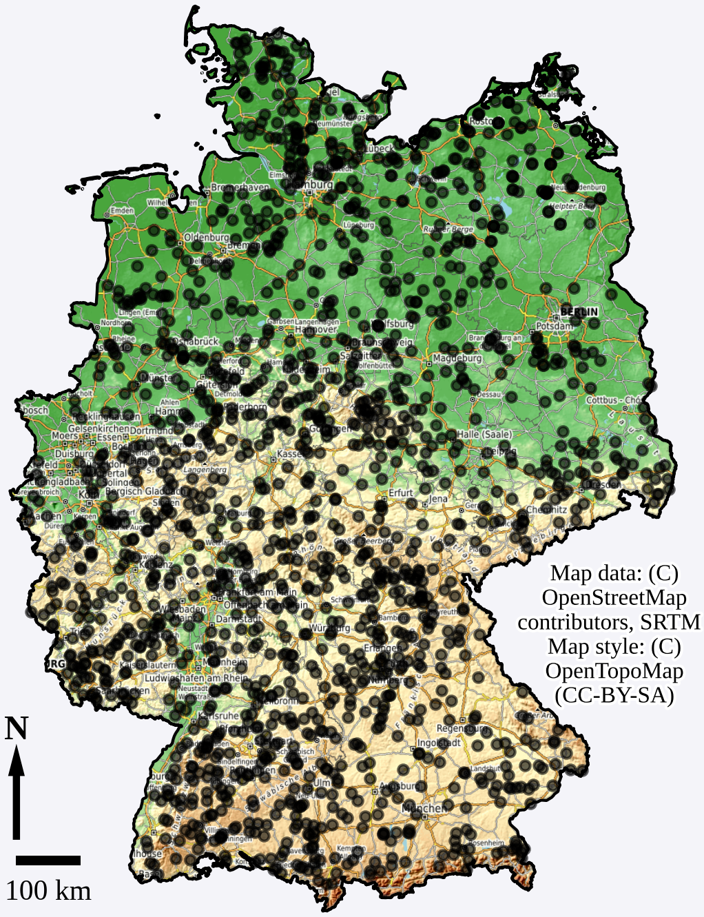
CAMELS-DE (Catchment Attributes and Meteorology for Large-sample Studies) is a hydro-meteorological dataset which offers data for 1582 catchments in Germany.
The time series data of hydro-meteorological variables is in daily resolution and spans up to 70 years, from January 1951 to December 2020. Additionally, the dataset includes a set of derived catchment attributes,
such as soil properties, land cover, and topographic data as well as time series data of simulated discharge from a regional Long-Short Term Memory (LSTM) network and a conceptual hydrological model.
The catchment boundaries are also provided in the dataset, which allows for the derivation of further catchment attributes.
You can find comprehensive information about CAMELS-DE in the CAMELS-DE data descriptor paper 10.5194/hess-2021-377
Download CAMELS-DE:
10.5281/zenodo.13837553

Processing Pipeline
Description
The processing pipeline of CAMELS-DE is built in a modular way where each component is implemented in a seperate GitHub repository that builds its own Docker container. Each repository includes detailed documentation, guidelines for building and running the Docker containers, and instructions for accessing the required input data.We want to make the origin as well as used methodologies / packages / functions of each data component of CAMELS-DE as traceable, comprehensible and reproducible as possible. We think that this is best achieved through the modular containerized design instead of one monolithic code repository to generate CAMELS-DE. In addition, this design simplifies possible future updates of individual components and the integration of new data sources.